Tropical storm Gordon weakens after killing child

Storm clouds loom over a pier as Tropical Storm Gordon approaches in Waveland, Mississippi, U.S., September 4, 2018. REUTERS/Jonathan Bachman

By Kathy Finn

NEW ORLEANS (Reuters) – Tropical Storm Gordon weakened into a depression on Wednesday hours after making landfall just west of the Alabama-Mississippi border and killing one person in Florida, the U.S. National Hurricane Center said.

The storm, which caused only minor damage, was about 25 miles (40 km) south-southeast of Jackson, Mississippi and packed winds of 35 miles per hour. It will likely move across the lower Mississippi Valley through the day, bringing heavy rain and flooding, the NHC added.

An unidentified child was killed on Tuesday when a tree fell on a mobile home in Pensacola, Florida, the Escambia County Sheriff’s Office said on Twitter.

A slab where a house once stood is seen as Tropical Storm Gordon approaches Waveland, Mississippi, U.S., September 4, 2018. REUTERS/Jonathan Bachman

A slab where a house once stood is seen as Tropical Storm Gordon approaches Waveland, Mississippi, U.S., September 4, 2018. REUTERS/Jonathan Bachman

Flash flood warnings and watches were in effect for inland areas while all coastal watches and warnings associated with Gordon were discontinued at this time, the NHC said.

Separately, the NHC on Wednesday named storm Florence, which was about 1,350 miles (2,170 km) east-southeast of Bermuda, as the first major hurricane of the 2018 Atlantic hurricane season. It has winds 105 miles per hour (165 km/h) and was moving northwest at 13 miles per hour.

The Mississippi Emergency Management Agency lifted evacuation orders and curfews for south Mississippi residents on Wednesday, said Ray Coleman, spokesman for the agency.

“We have no real damage reports, a couple of trees down, but no real major damages in the lower Mississippi Gulf Coast counties,” Coleman said.

Moderate to heavy flooding could be seen on roadways on Dauphin Island, Alabama and in Jackson, Mississippi, along with a few toppled trees, according to video reports by WKRG and WRAL news stations.

The governors of Louisiana, Mississippi and Alabama had declared this week a state of emergency in anticipation of the storm while companies cut 9 percent of U.S. Gulf of Mexico oil and gas production.

U.S. oil producer Anadarko Petroleum Corp evacuated workers and shut production at two offshore platforms on Monday, and other companies with production and refining operations along the Gulf Coast said they were securing facilities.

The Gulf of Mexico is home to 17 percent of U.S. crude oil and 5 percent of natural gas output daily, according to the U.S. Energy Information Administration.

Last year, hurricanes hit Texas, Florida and Puerto Rico, causing widespread destruction and thousands of deaths.

(Reporting by Kathy Finn, Additional reporting by Gina Cherelus in New York, Brendan O’Brien in Milwaukee, and Dan Whitcomb in Los Angeles; Editing by David Stamp and Steve Orlofsky)

Maria becomes major hurricane, powers through Caribbean

Hurricane Maria is shown in the Atlantic Ocean about 85 miles east of Martinique in this September 17, 2017 NASA handout satellite photo. NASA/Handout via REUTERS

By Robert Sandiford

BRIDGETOWN, Barbados (Reuters) – Hurricane Maria picked up strength and roared toward the Leeward Islands on Monday on a track that could whip several eastern Caribbean islands with their second major storm this month.

Maria grew into a Category 3 storm on the five-step Saffir-Simpson scale, with maximum sustained winds of 120 miles per hour (195 km per hour). It was located about 60 miles (95 km) east of Martinique, the U.S. National Hurricane Center said at 11 a.m. ET (1500 GMT).

It was headed west-northwest at about 10 mph (17 kph) on a track that would put it over the U.S. territory of Puerto Rico by Wednesday.

Maria was expected to be the second major hurricane this year to hit the Leeward Islands, which were hammered by Hurricane Irma earlier this month, the center said.

Streets were flooded in some residential parts of the island of Barbados, which had been experiencing heavy rain since Sunday as the storm approached.

Maria was expected to bring storm surges – seawater driven ashore by wind – of up to 6 feet to 9 feet (1.8-2.7 m), the NHC said. Parts of the central and southern Leeward Islands could see as much as 20 inches (51 cm) of rain, it said.

Hurricane and tropical storm warnings and watches were in effect for a string of islands in the area, including the U.S. and British Virgin Islands, Antigua and Barbuda and the French-Dutch island of Saint Martin.

Several of those islands were devastated earlier this month when Hurricane Irma rampaged through the Caribbean as one of the most powerful Atlantic hurricanes ever recorded, killing more than 80 people on the islands and the U.S. mainland.

The deck of a U.S. Navy landing craft is crowded with Army soldiers and their belongings as they are evacuated in advance of Hurricane Maria, off St. Thomas shore, U.S. Virgin Islands September 17, 2017. REUTERS/Jonathan Drake

The deck of a U.S. Navy landing craft is crowded with Army soldiers and their belongings as they are evacuated in advance of Hurricane Maria, off St. Thomas shore, U.S. Virgin Islands September 17, 2017. REUTERS/Jonathan Drake

Puerto Rico, a U.S. territory which Irma grazed as it headed toward Cuba and Florida, opened shelters and began to dismantle construction cranes that could be vulnerable to high winds as it prepared for Maria.

“It is time to seek refuge with a family member, friend, or move to a state shelter because rescuers will not go out and risk their lives once winds reach 50 miles per hour,” Puerto Rico Governor Ricardo Rosselló told reporters on Monday.

Some 450 shelters were open, including one in San Juan that is already housing people evacuated by nearby islands hit by Irma, the government said.

More than 1,700 residents of Barbuda were evacuated to neighboring Antigua after Irma damaged nearly every building there.

Further north, forecasters were also tracking Category 1 Hurricane Jose, which was carrying 75-mph (120-kph) winds and was located about 265 miles (430 km) east-southeast of Cape Hatteras, North Carolina.

The eye of that storm was forecast to remain off the east coast of the United States for the next few days, bringing dangerous surf and rip currents to beaches from Delaware through Massachusetts.


(Additional reporting by Tracy Rucinski in Chicago; Writing by Scott Malone; Editing by Frances Kerry)


Death toll in Haiti surges, storm hugs Florida coast

A pedestrian runs across a street as the eye of Hurricane Matthew approaches Daytona Beach, Florida,

By Scott Malone and Zachary Goelman

ORLANDO, Fla. (Reuters) – Hurricane Matthew, carrying winds of 120 miles per hour (195 kph), lashed central Florida on Friday, hugging the Atlantic coast as it moved north and threatened more destruction after killing more than 500 people and leaving thousands homeless in Haiti.

Matthew, the first major hurricane that could hit the United States head on in more than a decade, triggered mass evacuations along the coast from Florida through Georgia and into South Carolina and North Carolina.

Southern Florida escaped the brunt of the storm overnight, but U.S. President Barack Obama and other officials urged people farther north not to get complacent.

“I just want to emphasize to everybody that this is still a really dangerous hurricane, that the potential for storm surge, loss of life and severe property damage exists and people continue to need to follow the instructions of their local officials over the next 24, 48, 72 hours,” Obama told reporters after a briefing with emergency management and other officials.

The Florida city of Jacksonville could face significant flooding, Florida Governor Rick Scott said. The storm had cut power to some 600,000 households in the state, he told a news conference.

In the Caribbean country of Haiti, where poor rural communities were ravaged by Matthew, the death toll surged to at least 572 people on Friday, as information trickled in from remote areas previously cut off by the storm, according to a Reuters tally of death tolls given by officials.

Matthew smashed through the tip of Haiti’s western peninsula on Tuesday with 145 mph (233 kph) winds and torrential rain. Some 61,500 people were in shelters, officials said, after the storm pushed the sea into fragile coastal villages, some of which were only now being contacted.

Cellphone networks were down and roads were flooded by sea and river water in Haiti, the poorest country in the Americas.

Aid has been slow to reach towns and villages around the peninsula. Instead, locals have been helping each other.

“My house wasn’t destroyed, so I am receiving people, like it’s a temporary shelter,” said Bellony Amazan in the town of Cavaillon, where around a dozen people died. Amazan said she had no food to give people.

At 10:00 a.m. EDT (1400 GMT), Matthew’s eye, or center, was brushing the Florida coast near the central city of Daytona Beach, the U.S. National Hurricane Center said.

“The winds are ferocious right now,” said Jeff Piotrowski, a 40-year-old storm chaser from Tulsa, Oklahoma, who early on Friday was near Cape Canaveral, home to the country’s main space launch site. The storm downed power lines and trees and destroyed billboards in Cape Canaveral, he said.

No significant damage or injuries were reported in West Palm Beach and other cities and towns in south Florida where the storm brought down trees and power lines earlier in the night, CNN and local media reported.

FALSE SENSE OF SECURITY

Craig Fugate, director of the Federal Emergency Management Agency, said he was concerned that relatively light damage so far could give people farther north a false sense of security.

“People should not be looking at the damages they’re seeing and saying this storm is not that bad,” Fugate told NBC. People should also be aware the hurricane carried more than just ferocious winds, he said.

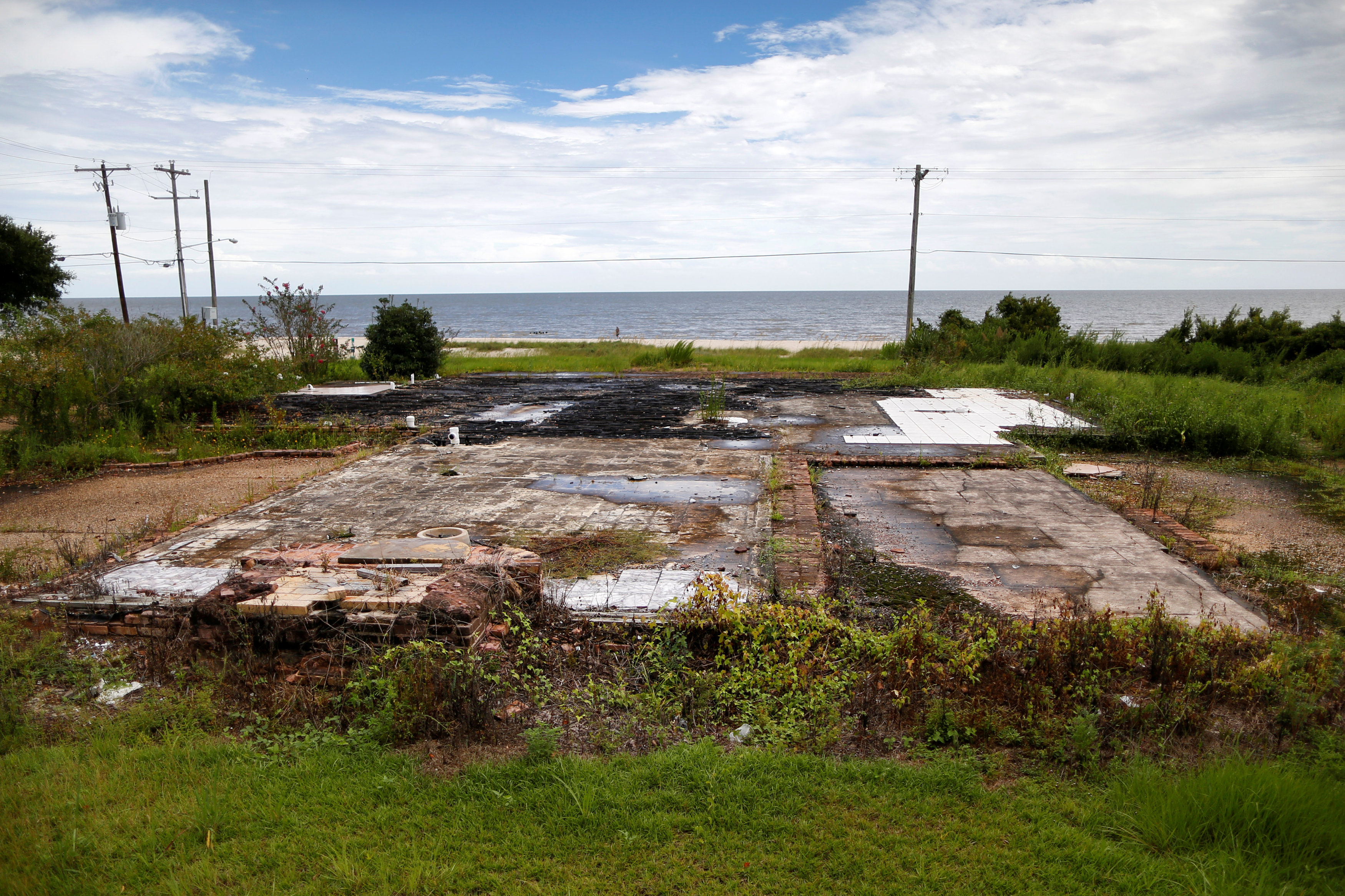
“The real danger still is storm surge, particularly in northern Florida and southern Georgia. These are very vulnerable areas. They’ve never seen this kind of damage potential since the late 1800s.”

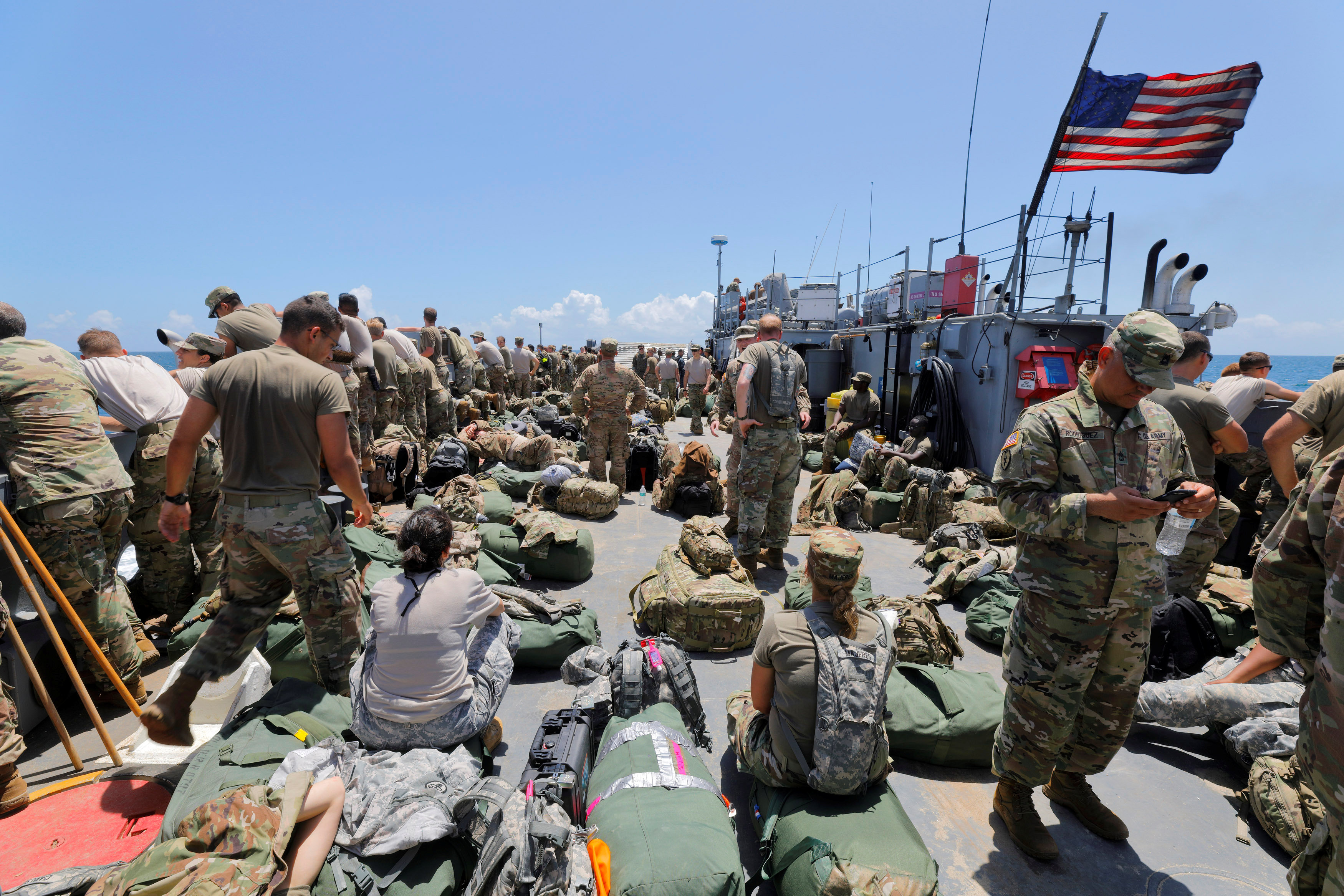
NASA and the U.S. Air Force, which operate the Cape Canaveral launch site, had taken steps to safeguard personnel and equipment. A team of 116 employees was bunkered down inside Kennedy Space Center’s Launch Control Center to ride out the hurricane.

Matthew lessened in intensity on Thursday night and into Friday morning, the National Hurricane Center said, but was still a Category 3 storm on the five-step Saffir-Simpson scale of hurricane intensity. Category 5 is the strongest.

It could either plow inland or tear along the Atlantic coast through Friday night, the Miami-based center said. The U.S. National Weather Service said the storm could be the most powerful to strike northeast Florida in 118 years.

The NHC’s hurricane warning extended up the Atlantic coast from southern Florida through Georgia and into South Carolina. The last major hurricane, classified as a storm bearing sustained winds of more than 110 mph (177 kph), to make landfall on U.S. shores was Hurricane Wilma in 2005.

Damage and potential casualties in the Bahamas were still unclear as Matthew passed near the capital, Nassau, on Thursday and then moved out over Grand Bahama Island.

Governor Scott has called on some 1.5 million people in coastal areas of Florida to evacuate and he continued to urge people to move away from danger on Friday.

As of Friday morning, about 22,000 people were in Florida shelters and more had moved inland or to the state’s west coast, Scott said. Georgia and South Carolina had also opened dozens of shelters for evacuees.

Those states, as well as North Carolina, declared states of emergency, empowering their governors to mobilize the National Guard. Obama declared states of emergency in Florida, Georgia and South Carolina, a move that authorized federal agencies to coordinate disaster relief efforts.

(Reporting by Susan Heavey, Eric Walsh and Doina Chiacu in Washington; Gabriel Stargardter in Miami; Joseph Guyler Delva in Haiti; Zachery Fagenson in Wellington, Fla.; Irene Klotz in Portland, Maine; Laila Kearney in New York; Writing by Frances Kerry; Editing by Bernadette Baum and Alistair Bell)

Storm Julia weakens into a depression, meandering off of U.S. coast

Map of Tropical Storm Julia

(Updates with details)

Sept 15 (Reuters) – Tropical Storm Julia weakened into a depression and is expected to meander off the coast of Georgia and South Carolina for the next few days, the U.S. National Hurricane Center said on Thursday.

Julia is located about 60 miles (95 km) south-southeast of Charleston, South Carolina with maximum sustained winds of 35 mph (55 kph), the Miami-based weather forecaster said.

“A slow and erratic motion is expected over the next couple of days, and the track forecast keeps Julia meandering offshore of the Georgia and southern South Carolina coastlines into Saturday,” the NHC said.

Julia, the 10th named storm of the 2016 Atlantic hurricane season, was moving northeast at 2 mph just off the U.S. coast, as little change TO its strength was expected during next two days, it said.

Heavy rain combined with high tides raised concerns of flooding in downtown Charleston, South Carolina, and other coastal parts of the state into Thursday morning, forecasters said.

Some residents in coastal communities were offered sandbags to prepare for flooding in low-lying areas.

Since late Tuesday, Julia has dumped heavy rains and toppled trees in the region, but has not caused significant damage, the National Weather Service said.

On Thursday morning, the hurricane center also was tracking a tropical depression that was expected to bring heavy rains to the Cape Verde islands off West Africa. On its forecasted track, the system would remain far away from the coastal United States through early next week.

(Reporting by Karen Rodrigues in Bengaluru and Brendan O’Brien
in Milwaukee; Editing by Alison Williams)